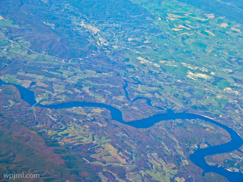
Aerial View of River Valley, Boreal Forest Region

This breathtaking aerial photograph captures the raw beauty of Canada’s boreal forest landscape from thousands of feet above. The image reveals the intricate patterns of nature—sinuous blue rivers winding through dense forests, cleared agricultural land in vibrant greens and yellows, and the subtle textures of the northern wilderness. Shot from a plane window, this perspective offers a humbling reminder of the vastness and untamed character of Canada’s northern regions, where civilization exists in careful balance with the natural world.
Highlights
- Dramatic meandering river system creating natural curves through the landscape
- Contrast between dense boreal forest (dark purple-blue tones) and cultivated farmland (bright greens and yellows)
- Aerial perspective revealing the scale and vastness of northern wilderness
- Pristine waterways reflecting sunlight in brilliant blues
What to Do
- Fly over the boreal forest to experience this remarkable landscape from above
- Explore river valleys by canoe or boat during summer months
- Visit northern communities like Fort McMurray or Prince George for ground-level access to these regions
- Photograph the landscape during different seasons for varying colors and perspectives
Best Time to Visit
Late spring through early autumn (May-September) when weather is stable for aerial tours and the landscape shows vibrant greens and accessible waterways
Getting There
Regional airports in northern Canada such as Fort McMurray International Airport or Prince George Airport offer connections. Charter flights and scenic air tours provide the best aerial viewing experience.
Visitor Tips
- Book scenic flights early in the day for better lighting and clearer views
- Window seats on the left side typically offer the best photography angles
- Bring a polarizing filter if photographing through aircraft windows to reduce glare
- Check weather conditions before booking aerial tours for optimal visibility
Nearby
- Fort McMurray Oil Sands Region
- Athabasca River
- Northern Alberta Wilderness
- Peace River Valley
The boreal forest from above is a testament to nature’s grand design and Canada’s vast, unspoiled wilderness. Whether you’re a photographer seeking dramatic landscapes, an adventurer yearning for remote exploration, or simply someone who appreciates Earth’s natural beauty, experiencing this aerial view of northern forests and winding rivers will leave you awestruck and deeply connected to the land.
Location Map
Aerial View of River Valley, Boreal Forest Region Read More »