
New York Aerial Winter Landscape, New York USA
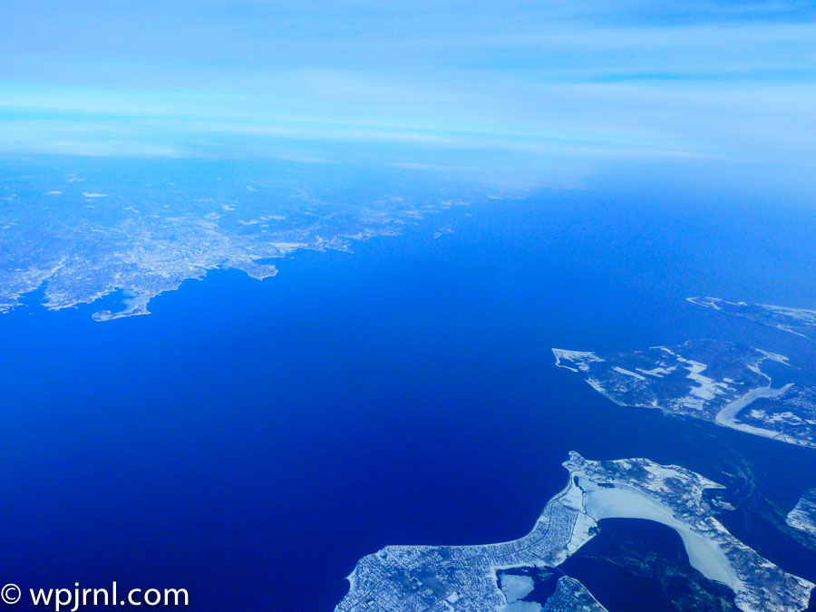
This stunning aerial photograph captures New York’s intricate geography during winter, revealing the complex network of islands, waterways, and coastal development that defines this iconic region. From thousands of feet above, the contrast between the deep blue waters and snow-covered land creates a breathtaking winter landscape. The view showcases the Hudson River, East River, and numerous islands that form the foundation of New York City’s unique metropolitan layout, frozen in time during the coldest season.
Highlights
- Aerial perspective of New York’s frozen waterways and islands in winter
- Clear visibility of the Hudson River and East River systems
- Snow-covered landscapes contrasting with deep blue water
- Bird’s-eye view of New York’s complex coastal geography
What to Do
- Fly over New York City to capture aerial photography similar to this view
- Visit observation decks like the Empire State Building or One World Observatory for elevated city views
- Explore the islands and waterfronts by boat or helicopter tour
- Experience winter activities across the city’s parks and outdoor spaces
Best Time to Visit
Winter (December to February) offers clear skies, snow-covered landscapes, and exceptional visibility for aerial photography
Getting There
Fly into one of New York’s three major airports: JFK, LaGuardia, or Newark. Helicopter tours depart from various locations in Manhattan.
Visitor Tips
- Book helicopter or airplane tours early for the best aerial photography opportunities
- Winter weather provides clearer atmospheric conditions for aerial shots
- Dress warmly if taking open-door aerial photography flights
- Visit during midday for optimal lighting conditions
Nearby
- Manhattan skyline and urban landscape
- Statue of Liberty and Liberty Island
- Central Park winter scenery
- Brooklyn Bridge and East River waterfront
Seeing New York from above transforms your understanding of this magnificent city. The aerial winter perspective reveals nature’s intricate artistry alongside human development, creating a humbling reminder of the scale and complexity of one of the world’s greatest metropolitan areas. Plan your aerial tour today and witness New York’s breathtaking geography from a perspective few experience.
Location Map
New York Aerial Winter Landscape, New York USA Read More »